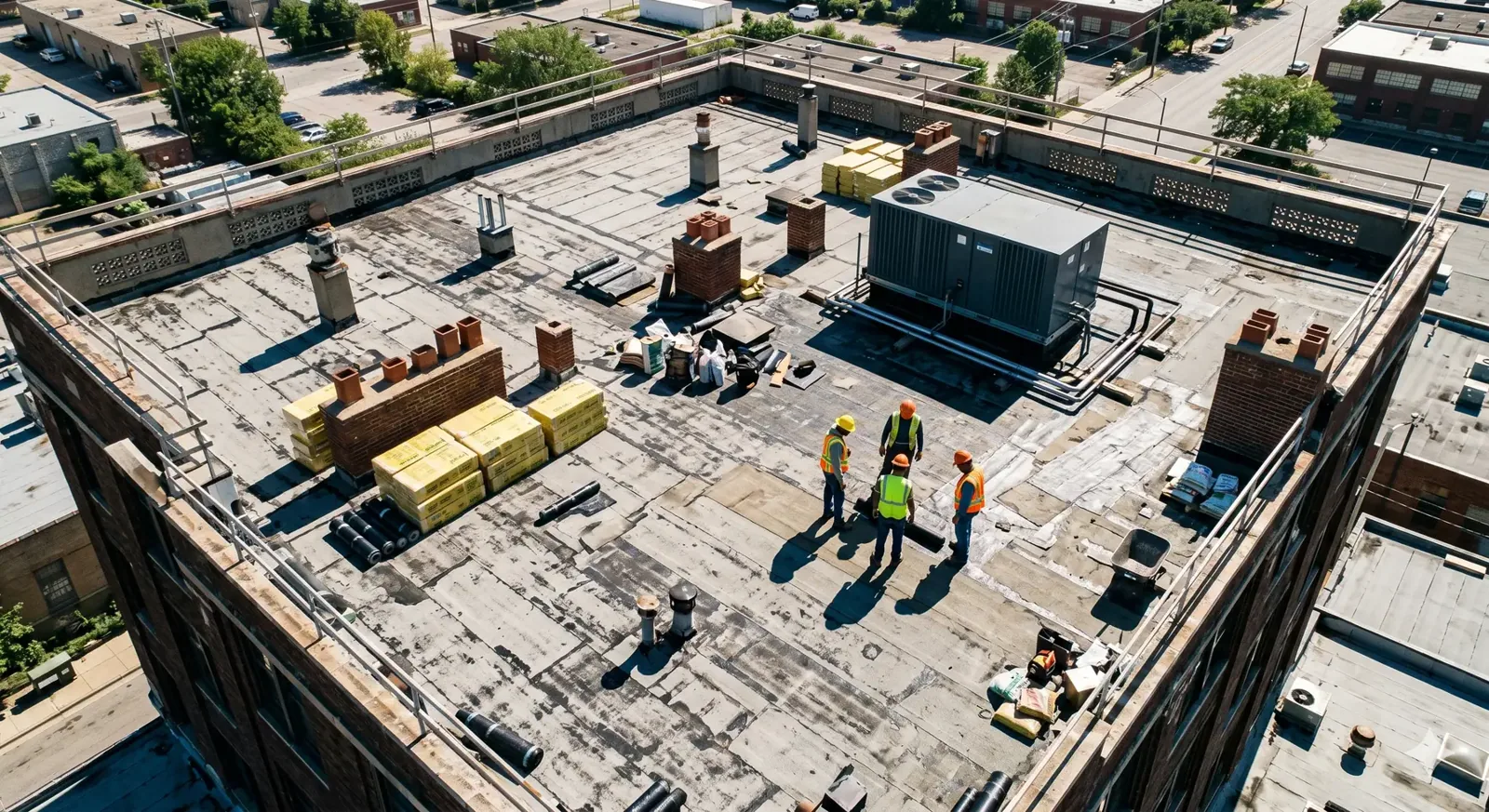
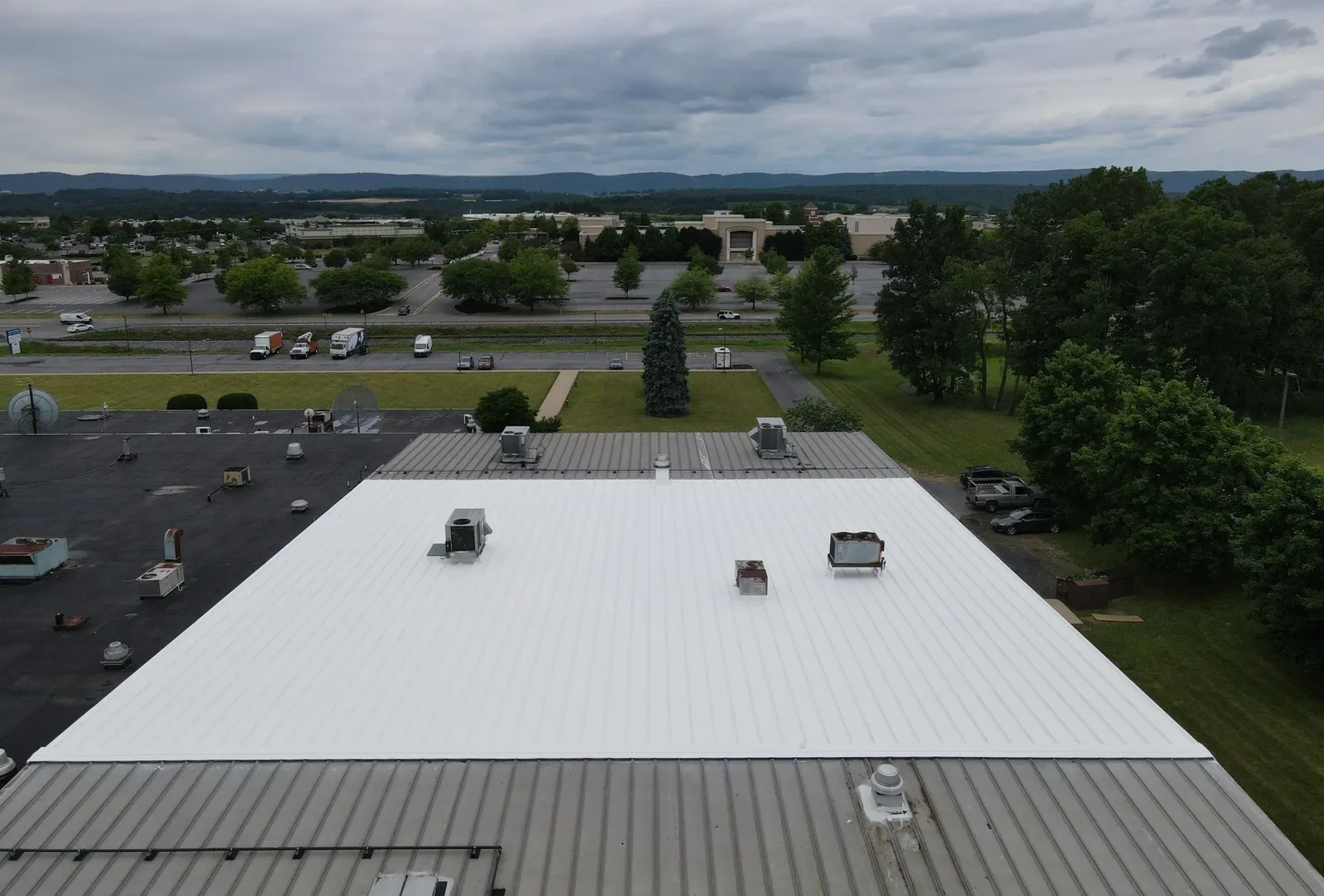
A drone can map a roof that is too large or difficult to review efficiently from a single access point, but images answer only the questions the camera can see. We plan the flight around site rules, safe launch and landing areas, and the roof sections that need a closer look. The resulting images can show visible membrane wear, debris, ponding, edge conditions, and equipment layout. They do not confirm concealed moisture, seam adhesion, deck strength, or the source of an interior leak. Waterbury's planning profile places its compact business center close to the I-84 and Route 8 junction and identifies industrial parcels along the Naugatuck River; a labeled aerial map can distinguish roof sections across those broad settings without inferring assembly condition. The imaging is paired with a hands-on roof inspection and a labeled photo report before a repair or capital scope is set.
Plan the Flight Around the Building and Site Rules
We start by confirming the property contact, access restrictions, roof outline, sensitive areas, and safe places to launch and recover the aircraft. The flight plan should cover the roof sections and features relevant to the inspection, including edges, drains, penetrations, equipment zones, and transitions between additions. Weather, airspace rules, nearby activity, and site permissions can change the flight timing. If the aircraft cannot safely reach a view, we note that limitation rather than infer what lies below an obstruction.
Waterbury has a compact business district near I-84 and Route 8, with industrial districts and mixed-use commercial corridors. That does not determine where a drone can fly or what permission a property requires. We confirm those requirements for the specific site and coordinate with building operations before launch. A multi-tenant property may need notice and access limits around loading or pedestrian areas. On a roof with ongoing equipment work, we identify the affected zone so flight and ground crews do not interfere with the same task. The roof map should reflect what was actually visible on the inspection date.
Separate Visible Surface Conditions from Hidden Defects
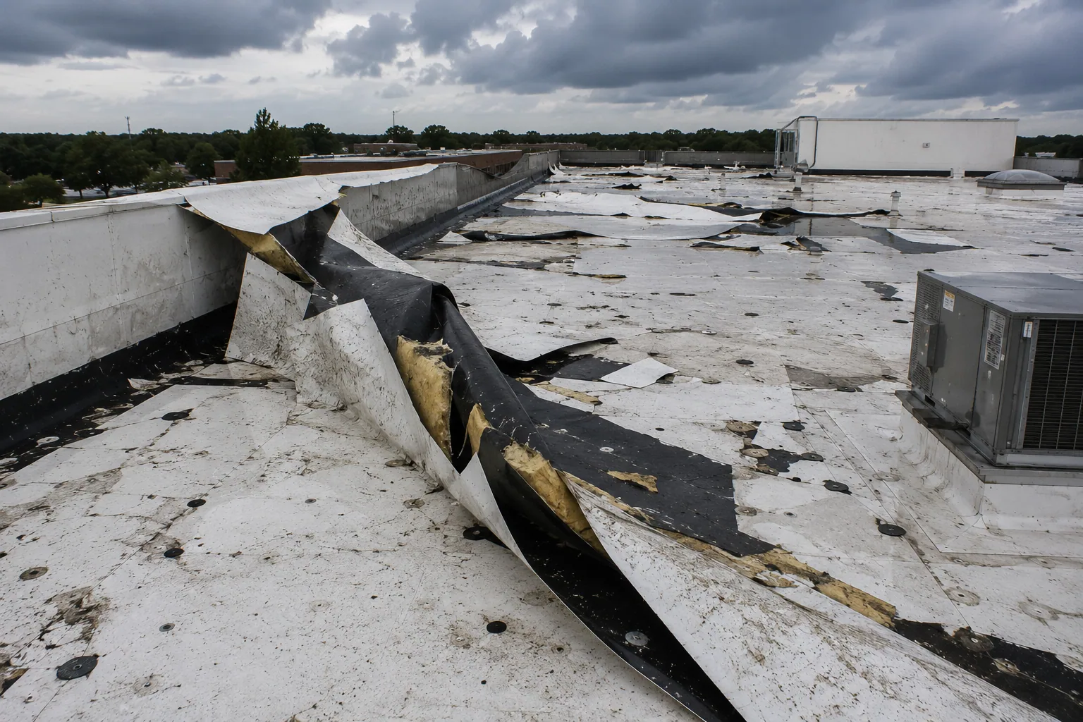
High-resolution images can help locate open patches, loose debris, visible ponding, displaced materials, damaged edge metal, or a blocked drainage path. The images can also help compare roof sections and find a detail that deserves hands-on access. A shadow, reflection, or surface discoloration can resemble damage, so each finding needs a human review and a location on the roof map. Drone imagery alone cannot establish that insulation is wet or that a membrane seam has lost its bond.
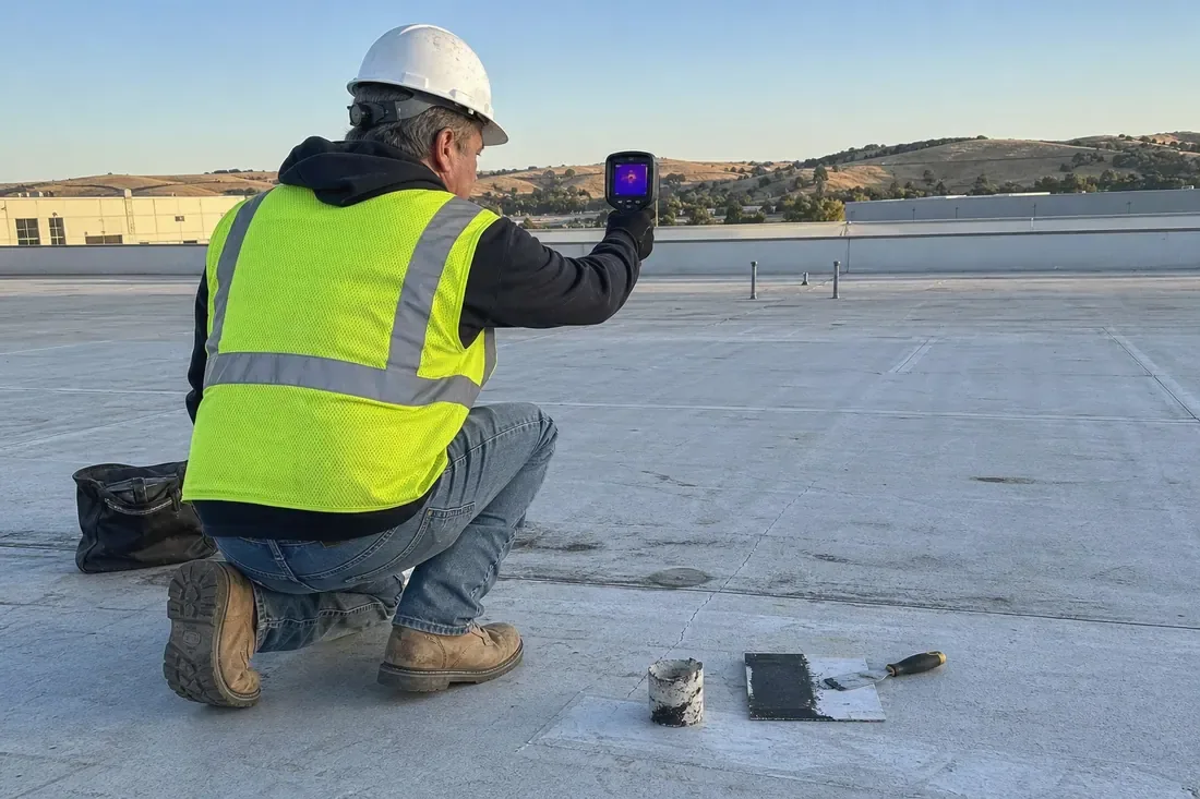
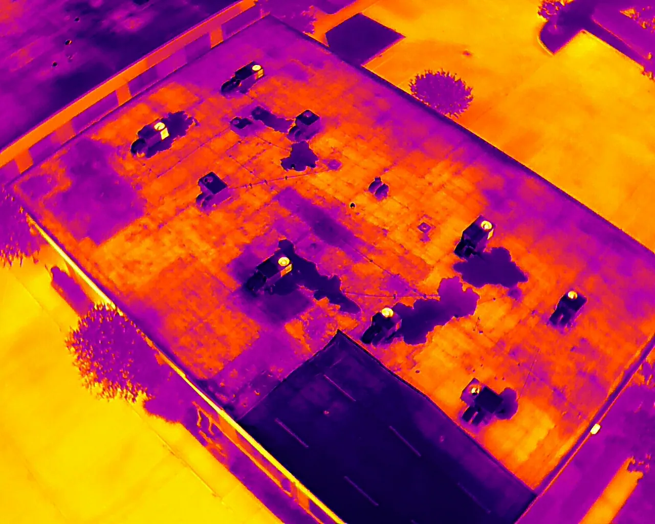
Waterbury's hazard plan identifies winter storms, snow and ice, summer storms, and tornadoes as local exposures. After a particular weather event, imagery can document visible surface changes when conditions are safe for inspection. It cannot attribute damage to the event without supporting observations. If a camera view suggests a seam or flashing problem, we schedule a closer check to test the detail and determine the repair boundary. When moisture is the question, an infrared moisture survey or test cut may be appropriate after conditions and roof construction are reviewed. Lifted material or edge movement that is actually visible gets a wind-damage inspection.
Turn the Images into a Section-by-Section Record
Useful drone work produces a labeled set of images rather than a folder of unplaced photographs. We organize views by roof section, mark visible findings, and note areas that were blocked, out of range, or not captured. The record can show the owner where a follow-up walk should focus and help the crew estimate access needs. If a roof includes multiple levels or additions, the section map keeps one area from being mistaken for another in a later repair discussion.
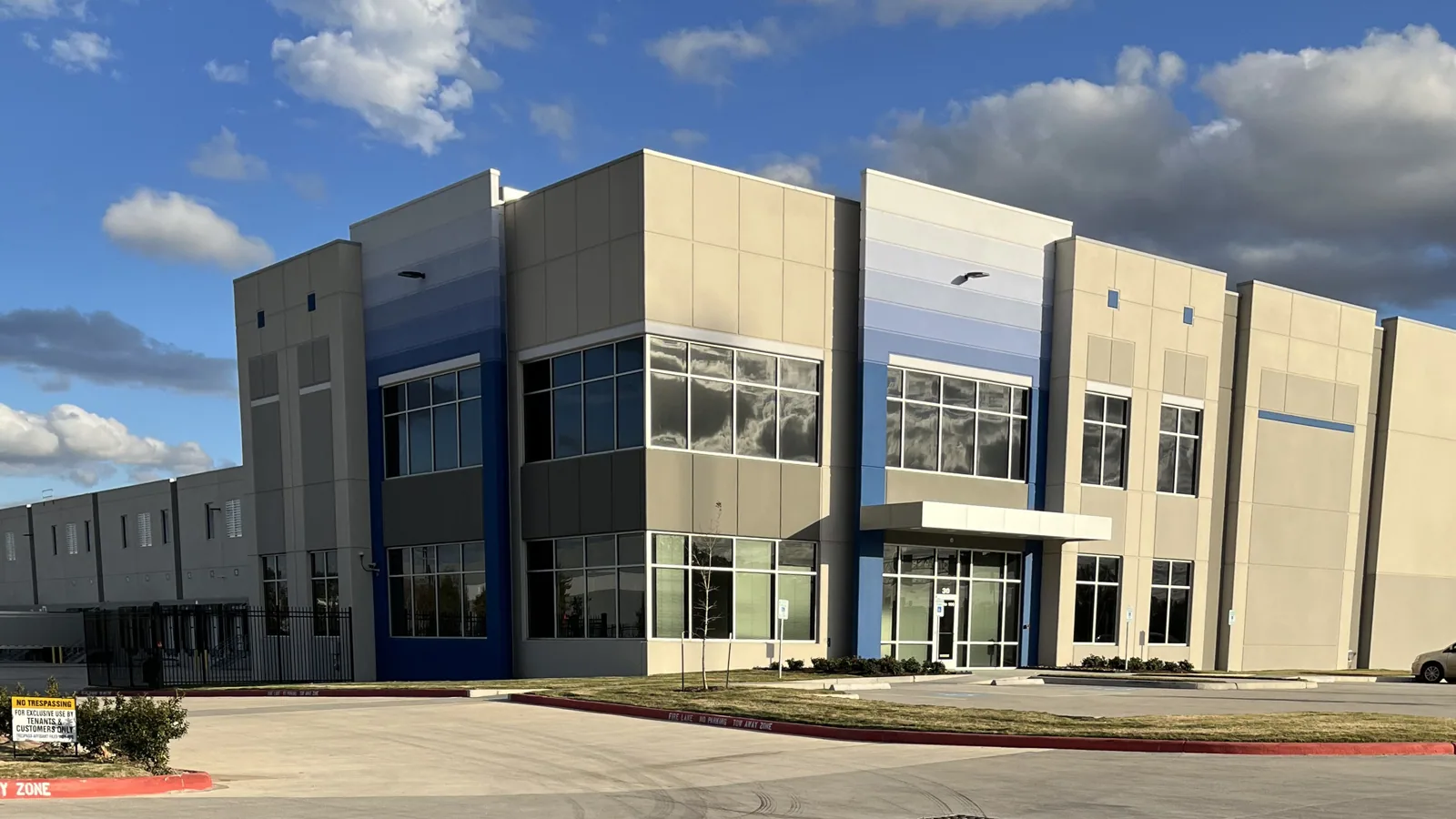
Waterbury's downtown mixes civic, financial, health-care, and higher-education uses, while the city's draft plan describes Freight Street as a former manufacturing area beside the Waterbury Branch rail line, I-84, and Route 8. At any property, we label the actual roof configuration and operating contact. A warehouse roof map may need loading zones and rooftop equipment marked for follow-up; a civic or office roof may need restricted areas identified. Imaging over a large storage building, such as a warehouse roof, is compared against a written condition record.
Use the Map to Direct Hands-On Work
After image review, we identify what can be priced from visible conditions and what needs a person on the roof. A drain issue may require opening and cleaning the outlet. A loose edge needs attachment and flashing checks. A dark area may require surface examination or moisture testing. The next scope should connect each proposed action to a labeled image and confirm the roof detail before work starts. If the map shows multiple conditions, we prioritize them by active water risk, deterioration, and the building's schedule.
Where the roof serves several occupied uses, the images can support early coordination without replacing a roof-access plan. Waterbury's commercial corridors include mixed retail, service, restaurant, housing, and civic uses. For those properties, we confirm operating hours and safety restrictions before planning a hands-on return visit. The drone view can reduce time spent searching the field, while the repair recommendation still depends on direct inspection. If visible damage needs action, a defined roof repair can reference the section and detail; a Waterbury roof assessment can include the local property context in the work record.
Keep the Flight Scope and Inspection Scope Clear
Before mobilization, the owner should know what roof areas the flight will cover, what image format will be delivered, and which questions still require hands-on work. We state whether the inspection includes a walk, moisture testing, interior review, or only aerial imaging. That prevents the images from being treated as a complete condition survey when access, weather, or obstructions limited the view. If an area was not captured, it remains an open item for the next visit.
The Waterbury municipal annex records passenger rail on the Metro-North Waterbury Branch and freight rail by Conrail. Those corridors help describe the city's connection to industrial property, but the roof inspection remains specific to the selected building. A clear work order names the requested roof sections and the property contact who can approve added access. Once the map and any hands-on findings are reviewed, an asset manager can decide whether to commission a repair, moisture survey, or replacement estimate. Keep the image set with the date and report so later comparisons use the same section labels.
Commercial Roofing Questions
Can drone images tell whether roof insulation is wet?
Visible imagery cannot confirm moisture beneath the membrane. It can identify areas that may deserve testing, based on surface conditions or drainage patterns. We review those locations and recommend an infrared survey, test cut, or hands-on inspection when the roof assembly and conditions support that next step.
Will a drone inspect every area of the roof?
The plan defines the intended coverage, but weather, permissions, obstructions, and safe flight limits can leave gaps. We label areas that were not captured and state what access would be needed. A complete report distinguishes image coverage from areas inspected by walking or testing the roof.
What can aerial images help an asset manager decide?
A labeled roof map can show visible conditions by section, help target follow-up access, and support early repair planning. It is useful for comparing areas and organizing a site visit. The repair, recover, or replacement decision still needs confirmation of the assembly and any concealed moisture.
Do we need to close the building during a drone inspection?
Building access depends on the flight plan and site rules. We coordinate launch and recovery locations, people below, and any restricted operating area with the property contact. The owner can determine whether a small exclusion zone or notice to tenants is needed after those locations are confirmed.
Can the images be used after a storm?
They can document visible surface conditions when weather and access permit a safe flight. Images do not prove when or why a defect occurred, and a camera view may not reveal concealed damage. We pair any apparent storm-related finding with a closer inspection and record what was actually observed.
Map the Roof Before Choosing the Next Test
Share the roof outline, site restrictions, and the question the images need to answer. We will plan the coverage, label visible conditions by section, and identify where a hands-on or moisture inspection is still required.